Embark on a journey into the realm of coordinate conversion with our polar to cartesian calculator, an indispensable tool for navigating the complexities of polar and rectangular coordinates. Dive into the fascinating world of trigonometry and geometry as we unravel the secrets of transforming points between these two coordinate systems.
Prepare to unravel the mysteries of polar coordinates, discover the nuances of converting between polar and Cartesian coordinates, and delve into the practical applications that make this conversion process an invaluable asset in various fields.
Understanding Polar Coordinates

Polar coordinates are a system of representing points in a plane using the distance from a fixed point (the origin) and the angle between a fixed ray and the line connecting the point to the origin.
Polar coordinates are often used in applications such as navigation, physics, and engineering. They can be useful for describing points that are not easily described using rectangular coordinates.
Converting Points Between Polar and Rectangular Coordinates
To convert a point from polar coordinates (r, θ) to rectangular coordinates (x, y), we use the following formulas:
x = r cos(θ)y = r sin(θ)
To convert a point from rectangular coordinates (x, y) to polar coordinates (r, θ), we use the following formulas:
r = √(x^2 + y^2)θ = arctan(y/x)
Advantages and Disadvantages of Using Polar Coordinates
Polar coordinates have several advantages over rectangular coordinates:
- They can be used to describe points that are not easily described using rectangular coordinates.
- They are often more convenient for use in applications such as navigation, physics, and engineering.
However, polar coordinates also have some disadvantages:
- They can be more difficult to understand than rectangular coordinates.
- They can be more difficult to use for some applications, such as graphing.
Converting from Polar to Cartesian Coordinates

To convert from polar coordinates to Cartesian coordinates, we use the following formulas:
x = r
cos(theta)
y = r
sin(theta)
Where:
- r is the distance from the origin to the point
- theta is the angle between the positive x-axis and the line connecting the origin to the point
To perform the conversion, follow these steps:
- Identify the values of r and theta from the polar coordinates.
- Substitute the values of r and theta into the formulas above.
- Evaluate the expressions to find the values of x and y.
For example, to convert the polar coordinates (3, 60 degrees) to Cartesian coordinates, we would do the following:
- r = 3
- theta = 60 degrees
- x = 3
cos(60 degrees) = 1.5
- y = 3
sin(60 degrees) = 2.598
Therefore, the Cartesian coordinates of the point are (1.5, 2.598).
Here is a table that demonstrates the conversion process for multiple polar coordinates:
| Polar Coordinates | Cartesian Coordinates |
|---|---|
| (2, 30 degrees) | (1.732, 1) |
| (5, 90 degrees) | (0, 5) |
| (3, 120 degrees) | (-1.5, 2.598) |
Converting from Cartesian to Polar Coordinates
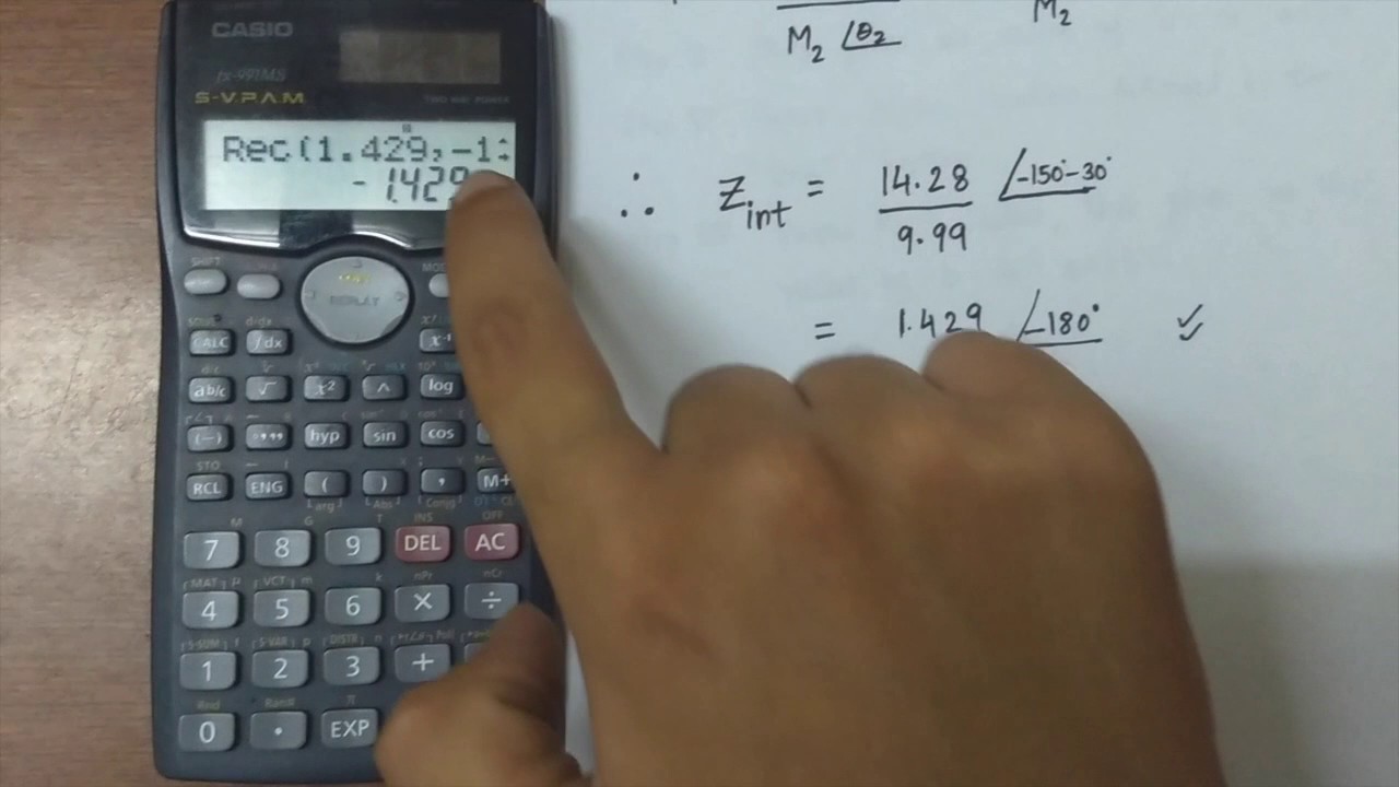
In converting from Cartesian to polar coordinates, we seek to represent a point in the Cartesian plane using its distance from the origin and the angle it makes with the positive x-axis. This conversion is particularly useful in various fields, including navigation, physics, and engineering.
Mathematical Formula
The conversion from Cartesian coordinates $(x, y)$ to polar coordinates $(r, \theta)$ is given by the following formulas:
- $r = \sqrtx^2 + y^2$
- $\theta = \arctan\left(\fracyx\right)$
Conversion Steps
- Calculate the distance from the origin, $r$, using the formula $r = \sqrtx^2 + y^2$.
- Calculate the angle $\theta$ using the formula $\theta = \arctan\left(\fracyx\right)$. Note that the angle is measured in radians and lies between $-\pi$ and $\pi$.
Interactive Calculator, Polar to cartesian calculator
To facilitate the conversion process, an interactive calculator has been designed. Simply input the Cartesian coordinates $(x, y)$ into the calculator, and it will provide the corresponding polar coordinates $(r, \theta)$.
Applications of Polar to Cartesian Conversion: Polar To Cartesian Calculator

Polar to Cartesian conversion finds practical applications in various fields, including navigation, physics, and engineering. By understanding the relationships between these coordinate systems, we can solve real-world problems and gain insights into complex systems.
Navigation
In navigation, polar coordinates are often used to describe the position of objects. For example, a ship’s position can be given in terms of its distance from a reference point and the angle between its direction of travel and a fixed reference line.
This information can be used to plot the ship’s course and determine its location relative to other objects.
Physics
In physics, polar coordinates are useful for describing circular motion and other phenomena that involve rotation. For example, the position of an object moving in a circular path can be described in terms of its radius and the angle it has traveled from a reference point.
This information can be used to calculate the object’s velocity and acceleration.
Engineering
In engineering, polar coordinates are used in a variety of applications, including the design of antennas, gears, and other mechanical components. For example, the polar form of the equation of a circle can be used to design a gear with a specific number of teeth.
This information can be used to create a gear that will mesh properly with other gears in a system.
Conclusion
In closing, the polar to cartesian calculator serves as a beacon of precision, empowering users to effortlessly traverse the realms of polar and Cartesian coordinates. Its versatility extends far beyond theoretical calculations, reaching into the practical domains of navigation, physics, and engineering, where it plays a pivotal role in solving real-world problems.
As you continue your exploration of coordinate conversion, may this calculator be your constant companion, guiding you through the intricacies of polar and Cartesian coordinates with unwavering accuracy and efficiency.